
Cutler Bay ZIP Code Coverage
Miami-Dade Elections' municipality, precinct, and ZIP map verifies two ZIP codes within the legal Town: 33157 and 33189. They organize mail, not local government. The county's general map warns that ZIP boundaries are generalized and that some ZIP codes elsewhere represent post office boxes. No official station name or address was located for either Cutler Bay delivery area, so the ZIP code directory does not invent one.
| ZIP Code | Areas Covered | Post Office | Notes |
|---|---|---|---|
| 33157 | Northern and western established areas; Whispering Pines, Bel Aire and Cutler Ridge vicinity | Not verified in official research | Shared with places north and outside Town |
| 33189 | Town Hall and central, southern and eastern areas; Franjo, Saga Bay and Lakes by the Bay | Not verified in official research | Principal Town postal area, but not identical to Town limits |
| 33190 | Immediately south and southeast; appears in mobility responses and some locally branded addresses | Not verified in official research | Boundary-check case, not a verified third Town ZIP |
The key oddity is 33157. It crosses the municipal line, so a matching postal label does not establish Cutler Bay jurisdiction. ZIP 33190 also deserves care because the available authoritative map did not prove that it overlaps the Town. No verified Cutler Bay-only ZIP, post-office-box-only ZIP, or local ZIP split date surfaced in the source record. Verify one delivery address through USPS and use Town maps to settle jurisdiction.
33157 Crosses Cutler Bay
ZIP 33157 covers northern and western established neighborhoods inside Cutler Bay, including the vicinity of Whispering Pines Park at 8800 Ridgeland Drive. It also extends north and outside the Town. That makes it useful for narrowing a resident search, yet too broad for deciding whether a parcel falls under Town permitting, code, or public-record channels.
The local record era varies across the postal area. Lincoln City sections date from 1948. Cutler Ridge began in 1954, Holiday House in 1956, and Whispering Pines in 1957. Bel Aire developed from 1957 through 1978. Older records may be cataloged under Cutler Ridge, Perrine, or unincorporated Dade County rather than modern Cutler Bay. Those place names can matter more than the current ZIP when tracing a long-term resident.
Boundary check. A 33157 mailing label is not proof that an address lies inside Cutler Bay. Compare the standardized address with the Town boundary and parcel record.
33189 Centers Cutler Bay
ZIP 33189 is the principal postal area for central, southern, and eastern Cutler Bay. Town Hall and the Franjo, Saga Bay, and Lakes by the Bay park areas fall within it. Postal geography still does not track the Town line exactly, but this ZIP is the stronger first filter for much of the modern municipality.
Neighborhood dates explain why records differ within the same ZIP. Saga Bay was replatted in 1972, and Lakes by the Bay section 1 dates to 1983. Town-created records do not begin until incorporation in 2005, while Miami-Dade property and deed systems reach earlier periods. A resident lookup in 33189 may therefore shift between a Town permit record, a county parcel, and the Recorder's deed index depending on the year.
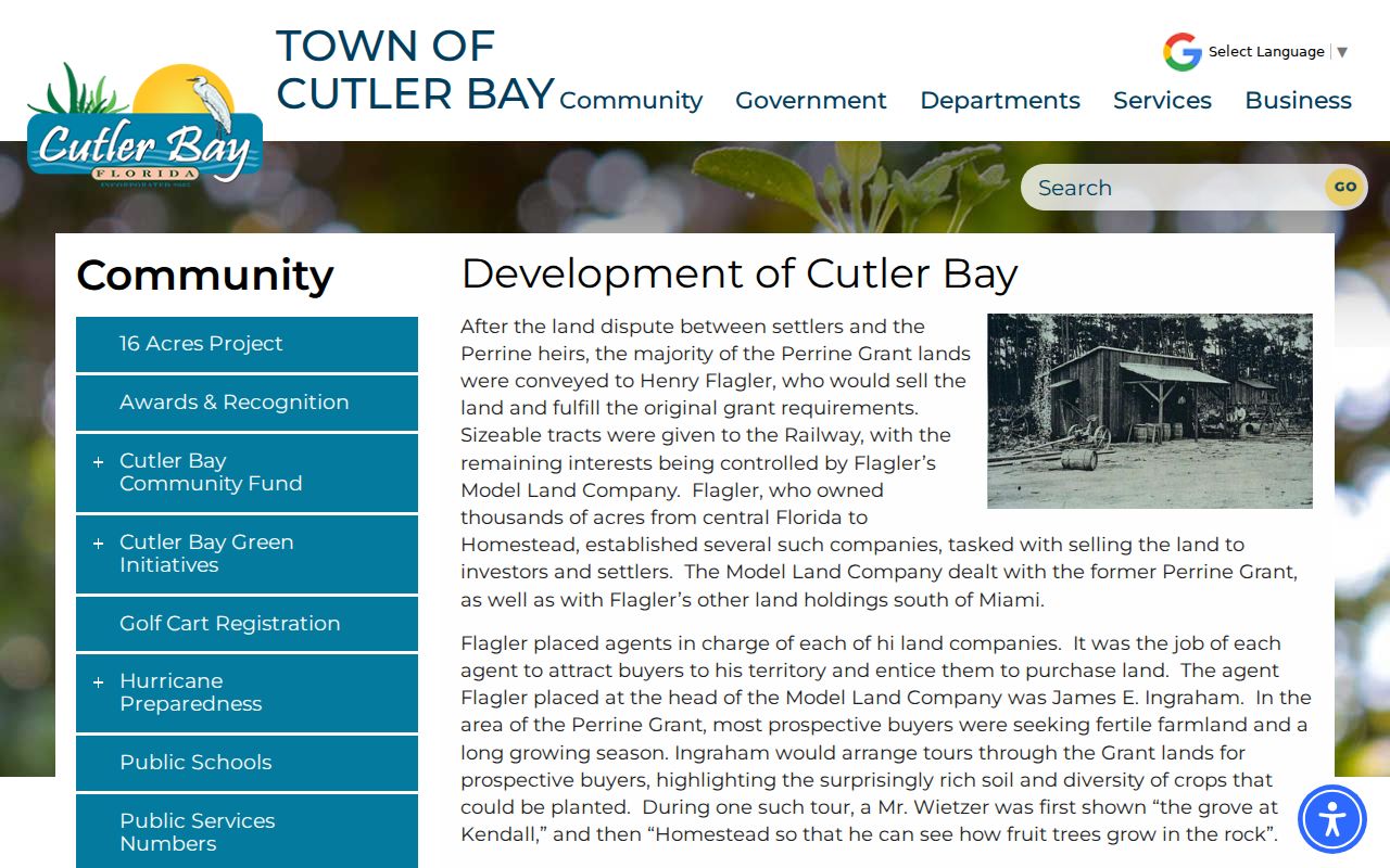
The Town's development history provides the local chronology behind these postal areas.
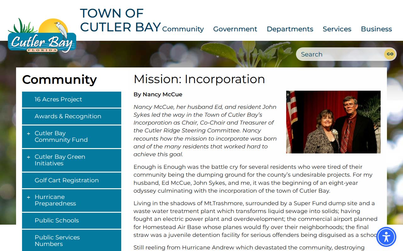
The Town's incorporation account identifies the communities that joined as one municipality in 2005.
Verify a Cutler Bay ZIP
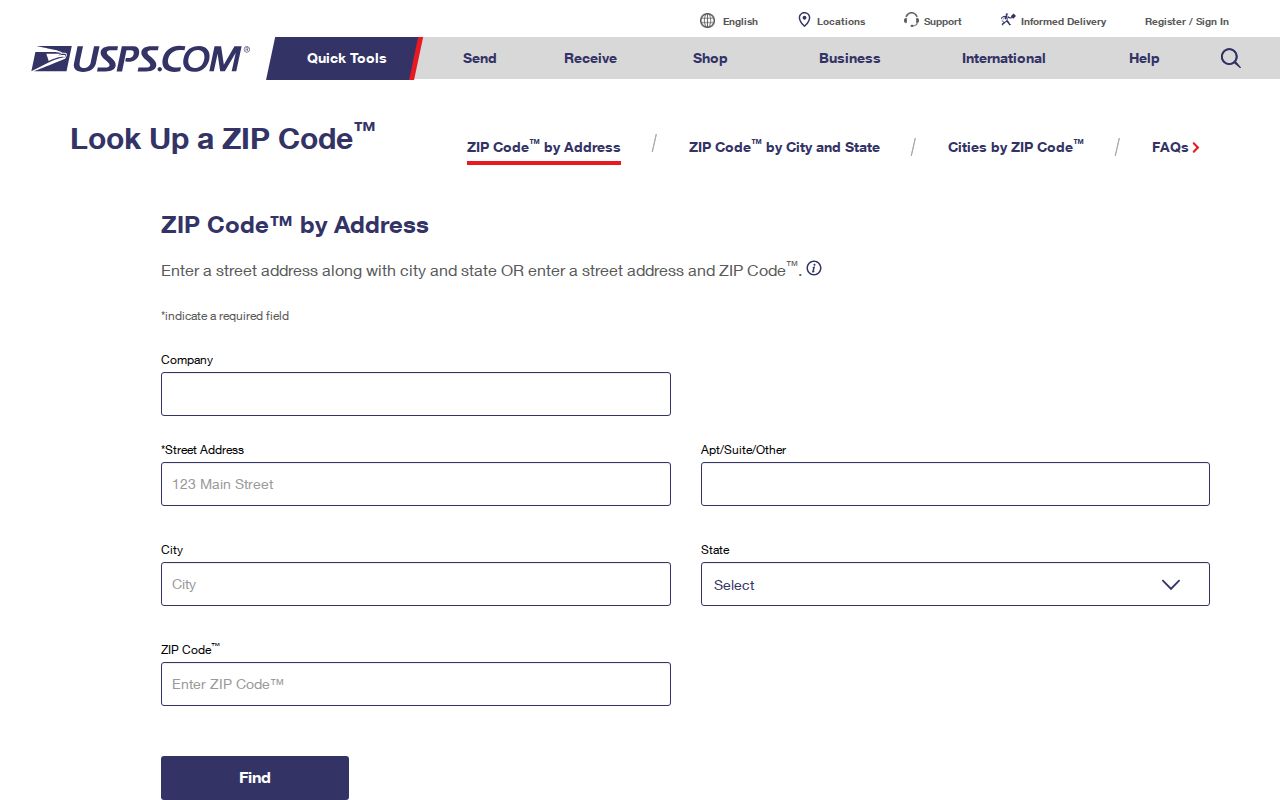
Use the USPS ZIP Code Lookup by Address to confirm the standardized delivery city, state, and ZIP for one address. Enter the street address, city, and state as accurately as possible. USPS answers the delivery question. It does not decide whether the parcel is within Town limits, identify an owner, or establish who lives there.
The captured USPS form shows the address-first route that supports this ZIP code directory.
Named and numbered roads can also need a second pass. Franjo Road is SW 97 Avenue, while Old Cutler Road, Ingraham Highway, Caribbean Boulevard, and Ridgeland Drive coexist with the southwest numbered grid. Search both a known named route and its grid form when an official portal fails to recognize the first version.
Find Cutler Bay Residents by ZIP
A broad resident search needs a ZIP-capable source, followed by an address or identity check. The Miami-Dade Property Appraiser's simple search has no verified ZIP-wide filter. Town GIS has a ZIP Boundary layer, while Sunbiz accepts a ZIP for business filings. Voter data can support a lawful ZIP-scale analysis through the state extract or county request, but the self-lookup is for one voter and requires exact name and birth date.
- Standardize one known address with USPS. Record the returned ZIP without treating its city label as legal jurisdiction.
- Open Town GIS and enable ZIP Boundaries, Parcels, and streets. Confirm whether the address lies in the mapped Town and select the parcel if needed.
- Search the property roll by address or folio. Compare the situs ZIP with the owner's mailing ZIP because they answer different questions.
- For lawful ZIP-scale voter work, request the statewide monthly extract or Miami-Dade Elections data. Do not use the personal voter lookup as a block browser.
- Use Sunbiz ZIP search only for business ties, then verify the officer, agent, or manager against another official source.
Once the ZIP narrows to a road, the Cutler Bay street directory provides the address-level record chain. That shift matters because a ZIP result includes many parcels and can cross the municipal boundary.
Map Cutler Bay ZIP Layers
Town GIS supplies the strongest local bridge from postal area to parcel. Its layer list includes ZIP Boundaries, Parcels, Subdivisions and Plats, Township/Section/Range, and streets. Those layers can show how an address sits within the Town and which parcel or subdivision is involved. They are map context, not certified evidence of residence.
| GIS layer | Use in a ZIP search | Limit |
|---|---|---|
| ZIP Boundaries | Places an address in a broad postal area | Postal line is not municipal line |
| Parcels | Connects map location to land unit | Owner is not always occupant |
| Subdivisions/Plats | Identifies the recorded development | Does not list all residents |
| Streets | Tests named and SW grid road forms | Aliases may require separate searches |
The Property Appraiser adds the current owner, folio, situs address, and mailing address. The folio and legal description anchor land. Situs means the physical tax address. The mailing address is where owner notices go and may have a different ZIP. Keeping these fields separate prevents an out-of-area owner from being counted as a Cutler Bay resident.
Use Cutler Bay Voter ZIPs
The Florida voter self-lookup is not a ZIP directory. It asks for exact first name, last name, birth date, and an acknowledgment. For broad, lawful analysis, the Division of Elections distributes a monthly disk containing active and inactive voters through the prior month's end, plus reported voting history. Requests need contact details and a mailing address, and standing requests expire each calendar year. Late or out-of-cycle production may carry administrative charges.
The Division of Elections voter-record guidance explains which address fields are public and which are protected.
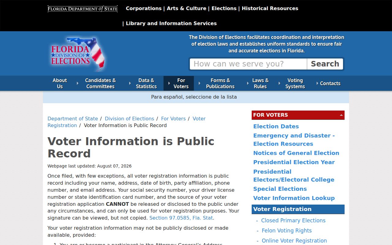
Voter data can include address, party, status, districts, and election participation, but not ballot choices. Protected voters may be withheld. The file also omits people who are not registered, minors, many noncitizens, and recent movers, so counts from it are not population totals.
Cutler Bay ZIP Record Eras
Modern ZIP codes cannot be projected backward without context. Tenalla Ocean Farms dates to 1924 around Franjo Road and Ingraham Highway. Lincoln City followed in the late 1940s, then Cutler Ridge, Holiday House, Whispering Pines, and Bel Aire grew during the 1950s. Saga Bay and Lakes by the Bay reflect later phases. Each era points to a different mix of county deeds, historical directories, census schedules, and later Town files.
Hurricane Andrew devastated the area in 1992, which makes repair and rebuilding permits a meaningful local layer. Still, the Town permit system only places records online from August 1, 2010, and older department files require a phone or records-request fallback. ZIP 33157 or 33189 can focus the map, but an address and date determine which custodian can actually answer the question.
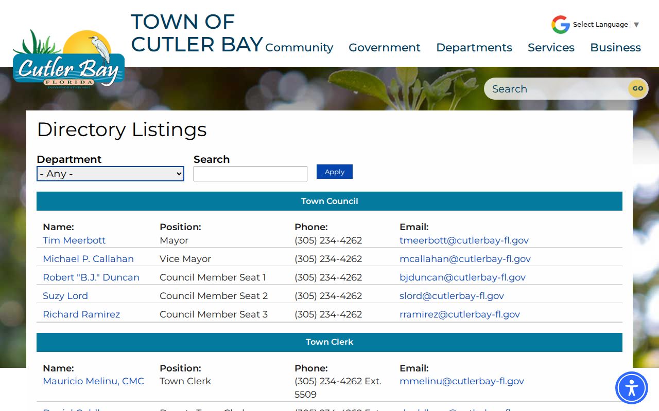
For a verified Town address, the Cutler Bay staff directory helps route questions about permits, planning, code, or Town-created files.
Note: Search Cutler Ridge, Perrine, Tenalla, and Dade County when a modern Cutler Bay ZIP produces no historical catalog result.
Cutler Bay ZIPs Versus Limits
ZIP codes route mail. Cutler Bay's boundary determines Town jurisdiction. The two can overlap without matching, most clearly where 33157 continues outside the municipality. A postal result therefore cannot decide which government keeps a permit, code case, or local request. Use USPS for delivery, Town and county maps for jurisdiction, and the Property Appraiser for parcel identity.
ZIP 33190 illustrates the same caution from the other side. It appears in local mobility responses and some addresses branded to the area, but the verified municipal map did not establish it as a third Town ZIP. Treat it as a prompt for address-level verification. Do not add it to a Cutler Bay roll merely because a nearby source uses the Town name.
- ZIP vs ZIP+4
- A five-digit ZIP marks a delivery area. The extra four digits narrow delivery to a smaller segment.
- PO-box ZIP
- A ZIP assigned mainly to boxes at a postal facility rather than street delivery.
- Unique ZIP
- A code assigned to one organization that receives a very large mail volume.
- Carrier route
- The set of addresses served by one postal delivery route, which is not a municipal district.